Free Program Helps Farmers Map & Measure their Land
Press Release: Belfast, NI. – September 4, 2010
From Alan Hooker; MSSB Consulting, N. Ireland; 028 90660884; alanhooker@mssbconsulting.com
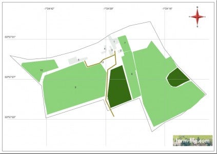
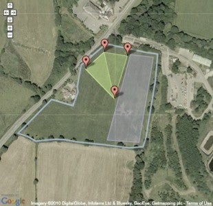
Farm-file.com allows land owners to map and measure their land online. Users can quickly produce good quality working maps of their land and farm without the use of GPS or specialized mapping services.
 Previously drawing and measuring land features such as field sizes and boundary lengths was a time consuming and often expensive business. The farm-file website is easy to use and the basic package, which is free, allows farmers to select from a range of features they want to map such as crops, boundaries or buildings.
Once mapped the site allows you to print maps showing both physical layout and calculations of area, length and size. The versatility of the tool allows for making maps and measurements on the ʻflyʼ for incorporation into planning, budgeting and other documents.
For further information: https://www.farm-file.com; support@mssbconsulting.com


 Your Privacy Choices
I just signed up. Put in State, Zip Code & don’t have an address yet (in process of buying land). But, every time the map shows up it is not even close to being the right area.
I will delete my account. I will figure it out by hand.